


Nagaland GIS & Remote Sensing Centre and WRI India sign Memorandum of Understanding.
Share
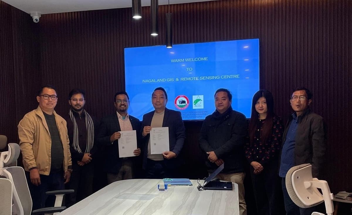
DIMAPUR — In a move to strengthen planning for reliable and clean energy, the Nagaland GIS & Remote Sensing Centre (NGISRSC) and WRI India signed a Memorandum of Understanding (MoU) on January 7 at the Nagaland GIS and Remote Sensing Centre, Kohima.
After the signing of MoU, the NGISRSC and WRI India will now work together to adopt the Energy Access Explorer (EAE), an open-source, interactive geospatial platform, a DIPR report stated.
This will help the state identify high-priority areas for clean energy interventions. The EAE is the first digital public good to focus on climate-friendly energy transitions.
Also read: NRC on Mithun takes part in Dima Hasao Mithun festival
Sr. Project Director, NGISRSC, Mhathung Kithan said that the MoU “marks the next step in our partnership with WRI India. This collaborative model strengthens transparency, shared responsibility and impact in inclusive planning for the sustainable development of Nagaland.”
Bharath Jairaj, Executive Director, Energy Programme, WRI India said, “The Energy Access Explorer (EAE) offers a powerful way to move from intent to informed action. Beyond expanding energy access, EAE can guide the decarburisation of critical public infrastructure, particularly in the health and education sectors, through the strategic deployment of decentralised renewable energy systems.”
“In doing so, it supports Nagaland’s development priorities while contributing to India’s broader goals of meeting half its energy needs from renewable by 2030 and achieving net zero emissions by 2070.”
The platform was launched in Nagaland in July 2023, and has also been developed for the states of Assam, Jharkhand and Mizoram. The EAE can be utilised by planners, entrepreneurs, government bodies, and institutions.