WEDNESDAY, NOVEMBER 12, 2025

Mountains to Mangroves: Nagaland’s REDD+ pilot takes root
Nagaland’s REDD+ pilot under Mountains to Mangroves empowers communities to protect forests, generate carbon credits, and sustain livelihoods.
Share
KOHIMA — While the restoration and agroforestry component of the Mountains to Mangroves campaign focuses on regenerating land, the second component centres on long-term forest protection under the REDD+ mechanism.
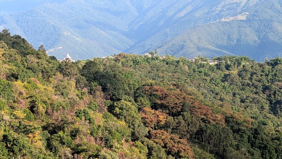
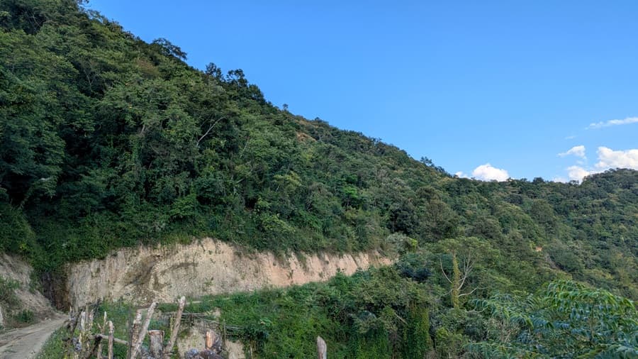
The REDD+ initiative covers 21 Community Conserved Areas (CCAs) across 43 villages, encompassing 16,700 hectares. It has Value Network Ventures and Conservation International as investors, TERI as project proponent and the Tizu Valley Biodiversity Conservation and Livelihood Network as co-proponent.
Carbon credit project
TERI noted that the REDD+ project aims to promote and provide incentives for voluntary community efforts to establish CCAs and protect forests. It is structured as a 30-year initiative prioritising community capacity-building over quick, externally driven solutions.
The first three years focus on baseline assessments, stakeholder mapping, socio-economic surveys, forest carbon evaluations and participatory development of management plans for each CCA.
First series: Mountains to Mangroves: Three Nagaland villages, one green vision
All project activities and analyses are carried out by community members, with technical support from partners. This approach, TERI said, ensures genuine skill transfer and sustainable local capacity.
Dr. Neil Vora, Senior Advisor for One Health at Conservation International, said: “People are the very centre of Mountains to Mangroves, and there is no programme without people here.”
TERI explained that one carbon credit is generated when any activity removes or prevents the emission of one tonne of carbon dioxide equivalent.
While plantation activities remove carbon dioxide, conservation prevents emissions that would result from forest loss.
The carbon credit project provides direct economic benefits through revenue sharing, support for alternative livelihood enterprises, infrastructure development and training programmes. It also strengthens governance structures and community-based forest management systems.
Training programmes coincide with specific project activities to maximise practical learning. Youth participants receive paid internships, with top performers selected for full-time employment as project associates.
Also read: Building on the Past: Mimi village sustains its stone slate roofing heritage
At Sükhai, youths received GPS and geo-spatial software training to demarcate project boundaries using tools such as Google Earth and GPS devices.
“The project prevents further forest loss by addressing the key drivers of deforestation while also providing communities with sustainable livelihood alternatives,” TERI said. It added that this dual approach supports both recovery of degraded areas and long-term protection of existing forests.
A carbon finance project titled ‘Forests of the people: Nagas traditional landscape management’ is also being developed, focusing on community-managed landscapes to address forest degradation and provide alternative livelihood options.
MTM as livelihood
Ivan Zhimomi said that the REDD+ project in 43 villages of Zunheboto is still at a pilot stage. It is designed as a minimum 20-year project, with revenue from the sale of carbon credits going directly to local communities for livelihood support and youth employment.
According to him, the project allows asset creation and aims to improve livelihoods over the long term. Employment generation, he said, is one of its key outcomes.
He added that promoting agroforestry within the community would help ensure food security and provide alternative livelihood opportunities.
TERI has placed postgraduate students as interns to conduct baseline socio-economic surveys in the project areas.
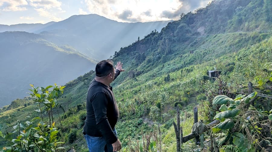
Zhimomi said that the CCA zoning system already in place is an advantage. The core zone is treated as a breeding area where activities are restricted.
The buffer zone allows basic needs such as firewood collection and timber for household use.
An economic zone has also been developed to promote irrigation channels and planting of horticultural crops. The zone is located near the village so that it remains accessible.
Read more: Nagaland signs MoU to promote jute cultivation across seven districts
About five jhum cycles have been demarcated as an economic zone, where communities engage in plantation and agroforestry. Multi-cropping is encouraged, with villagers planting fruits, vegetables and trees.
These efforts are guided by the principles of reviving traditional practices, cultural knowledge and agricultural systems while integrating scientific inputs on biodiversity and agroforestry.
Conservation International plans to expand the project to other parts of Nagaland. The current phase focuses on scoping and feasibility studies.
Further, the Mountains to Mangroves Atlas, set for release in 2026, will identify additional high-priority zones across Nagaland and the Eastern Himalayas to guide the next wave of projects and expand community networks.
(This report concludes a two-part series on the Mountains to Mangroves campaign in Zunheboto.)
Popular Articles
Nagaland Districts
